

Places in Lisbon
Loading...
‹
⌕
Areas
⌖Campo de Ourique219⌖Graça151⌖Belém238⌖Alcântara202⌖Estrela40⌖Baixa309⌖Chiado232⌖Príncipe Real451⌖Mouraria160⌖Alfama181⌖Cais do Sodré161⌖Santos111⌖Lapa63⌖São Bento175⌖Saldanha507⌖Anjos166⌖Bairro Alto316⌖Arroios227⌖Avenidas Novas250⌖Alvalade293⌖Parque das Nações175⌖Intendente77⌖AlmadaNearby town533⌖LouresNearby town212⌖OeirasNearby town216⌖AmadoraNearby town177⌖MontijoNearby town125⌖SeixalNearby town82⌖OdivelasNearby town131⌖BarreiroNearby town71⌖SintraNearby town6Places in Lisbon
Loading...
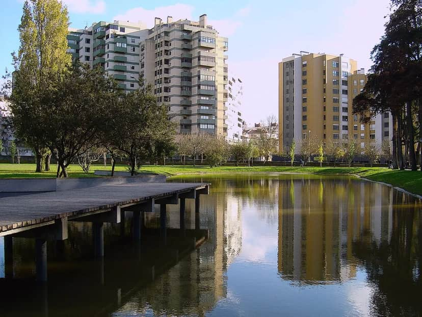 Parque da Quinta das Conchas e dos LilasesOpens in a new tabLisbon · Parks & GardensThis park has three distinct areas: the Quinta das Conchas, the Mata (woodland) and the Quinta dos Lilazes. The Quinta das Conchas, the largest area, consists of a great central lawn bounded at its highest point by a group of olive trees and
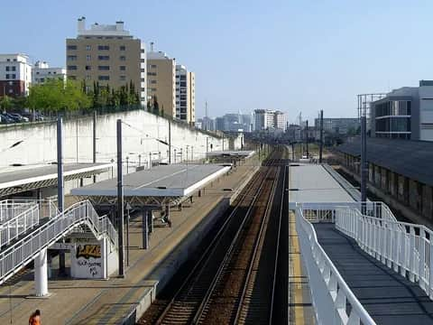 Parque da Quinta das FloresOpens in a new tabLisbon · Parks & GardensParque da Quinta das Flores is part of the Corredor Verde Oriental and has a children's play area, located at the end closest to the residential area. The allotment garden consists of 40 plots for the practice of urban agriculture.
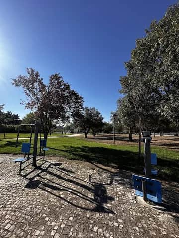 Parque da Ribeira de AlfragideOpens in a new tabAmadora · Parks & GardensParque da Ribeira, in the parish of Alfragide, covers around 2 ha and was built in 2000/01. It features extensive lawns, sports fields, two playgrounds, sandy pedestrian paths, a wooden bridge over the watercourse, and seating areas with tables and benches beside the Algés stream. The playground was refurbished under the 2012 Participatory Budget (Orçamento Participativo), with new equipment, shock-absorbing flooring and metal fencing.
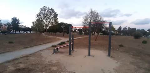 Parque de Bacelos de GaioOpens in a new tabSeixal · Parks & Gardens
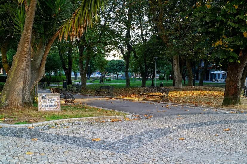 Parque Delfim GuimarãesOpens in a new tabAmadora · Parks & GardensOpened on 27 July 1937 and named in honour of the poet Delfim de Guimarães, this garden of around 1 ha in the centre of Amadora (Venteira parish) features a well-balanced layout with a central pergola and abundant trees, making it a pleasant leisure spot. Upgraded in 1996/97 with new paving, automated irrigation and street furniture, it includes a 1,300 m2 playground, refurbished in 2009, with embankment slides, a slide tower, swings, spring riders, rotating equipment and game panels accessible to children with reduced mobility. Admission is free and the park is close to the train station, a bus stop and a taxi rank.
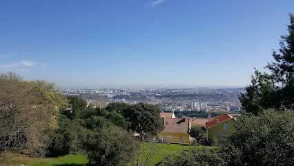 Parque de Merendas da Serra da AmoreiraOpens in a new tabOdivelas · Parks & Gardens
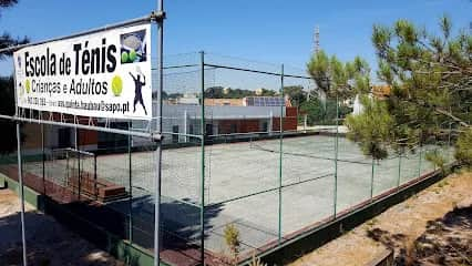 Parque desportivo da Quinta do Bau-BauOpens in a new tabLisbon · Sports & Fitness
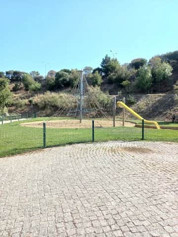 Parque do Rio da CostaOpens in a new tabAmadora · Parks & Gardens
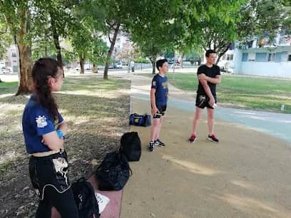 Parque dos EucaliptosOpens in a new tabLisbon · Parks & GardensParque dos Eucaliptos is located in Massamá. Renovated in 2019, it is a leisure area with a walking path, benches, a drinking fountain (also suitable for animals) and various shrub species.
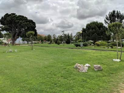 Parque dos PinheirosOpens in a new tabLisbon · Parks & Gardens
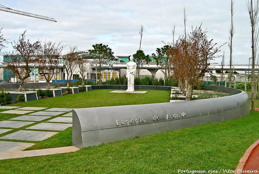 Parque dos PoetasOpens in a new tabLisbon · Parks & GardensParque dos Poetas is an urban park in Oeiras, one of the Green Spaces of Greater Lisbon. The park features a museum component of sculptures honouring poets of the Portuguese language.
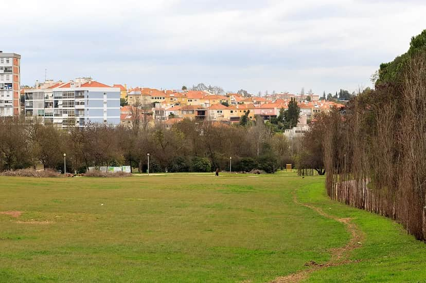 Parque do Vale do SilêncioOpens in a new tabLisbon · Parks & GardensToponymy: Natural elements. Start: bordering Avenida de Berlim, Avenida Cidade de Lourenço Marques, Rua Cidade Nova Lisboa and Rua Cidade de Malange. A densely wooded space along its northern edges and in the higher areas (to the South), whose e
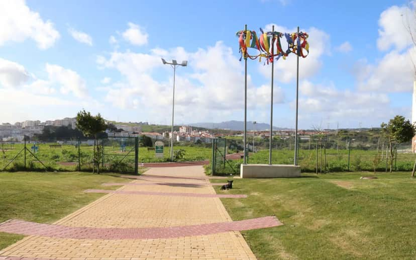 Parque do VentoOpens in a new tabAmadora · Parks & GardensParque do Vento is a 40,000-square-metre urban park located in Serra das Brancas, in the parish of Mina de Água, opened in July 2015. It has an outdoor gym area, a walking track, a children's playground and an outdoor multi-sports pitch.
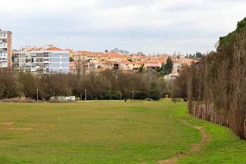 Parque Edgar Sampaio FontesOpens in a new tabLisbon · Parks & GardensToponymy: Landscape Architect 1922 - 2000. Inception: Park located between Avenida de Berlim, Rua da Portela and Avenida Dr. Francisco Luís Gomes. On a former municipal plot, once used as a nursery for growing trees and shrubs, it was
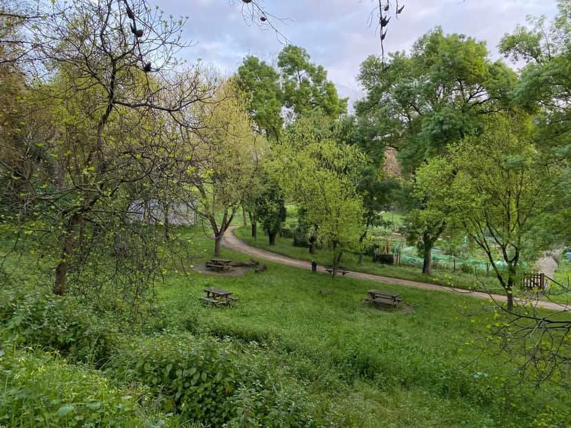 Parque Edgar Sampaio FontesOpens in a new tabLisbon · Parks & GardensToponymy: Landscape Architect 1922 - 2000. Inception: Park located between Avenida de Berlim, Rua da Portela and Avenida Dr. Francisco Luís Gomes. On a former municipal plot, once used as a nursery for the production of trees and shrubs, was
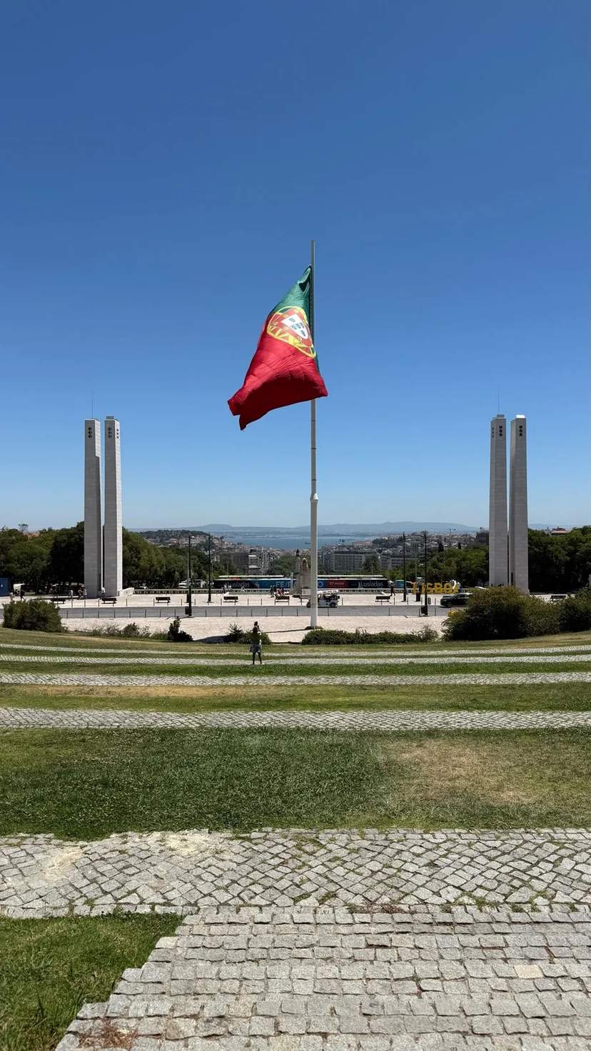 Parque Eduardo VIIOpens in a new tabAvenidas Novas · Parks & GardensParque Eduardo VII lies in the Avenidas Novas neighbourhood of Lisbon. Its address is given as Pq. Eduardo VII, beside Praça do Marquês de Pombal, and some people call it Parque Eduardo Sete. It is described as the largest public park in central Lisbon. It climbs a steep hill directly behind the praça, and one description calls it the city's green geometric spine and a premier vantage point. The park carries the name of King Edward VII. A terrace at the northern end looks across clipped box hedging, down to the city and the Tagus. On the eastern side stands the Carlos Lopes Pavilion. It was built for the 1922 World Expo in Brazil and moved to Lisbon in 1932. The park took the form seen today during the 1940s. The western side holds the Estufa Fria, which is sunken into a former basalt quarry. From the path above, the roof shows beyond the railings. One visitor likened it to an enormous roller-skate rink. The main entrance sits beside a lake, and that visitor, being over 65, paid €1.55. In the late nineteenth century the site was a basalt quarry. A gardener who saw how well plants grew there gathered species in one of its hollows, meaning to replant Avenida da Liberdade and the park. The First World War upset those plans. In 1926 an architect began the project that gave the plants a proper home, and the Estufa Fria officially opened in 1933. The Estufa Fria uses no heating. A slatted roof covers it, with gaps open to the outdoors, and it spans over 8,000 m². The planting includes tree ferns, rhododendrons, camellias, bananas, colocasias and strelitzias. One source counts more than 300 species growing here through the year. Pools, statuary and arches line winding gravel paths and stone steps. A lake has a monumental fountain. The sculptures include a girl pulling on a sock by Leopoldo de Almeida and a seated female figure by Anjos Teixeira. Two glass-roofed sections lie against the quarry's back wall. The Estufa Quente holds coffee plants and mango trees, and the Estufa Doce holds cacti and other succulents. Together the three houses cover some 11,500 m². The park is also where a Winedering van tour of Lisbon begins. The tour lasts about two hours and is priced at €55 for adults. It takes two to seven guests, in English or Português, and runs on Fridays at 10:00 and 15:00. Free cancellation runs until two days before the start. After the park, the route moves on to Avenida da Liberdade, the National Pantheon and Sé de Lisboa, and ends with a glass of wine and a pastel de nata.
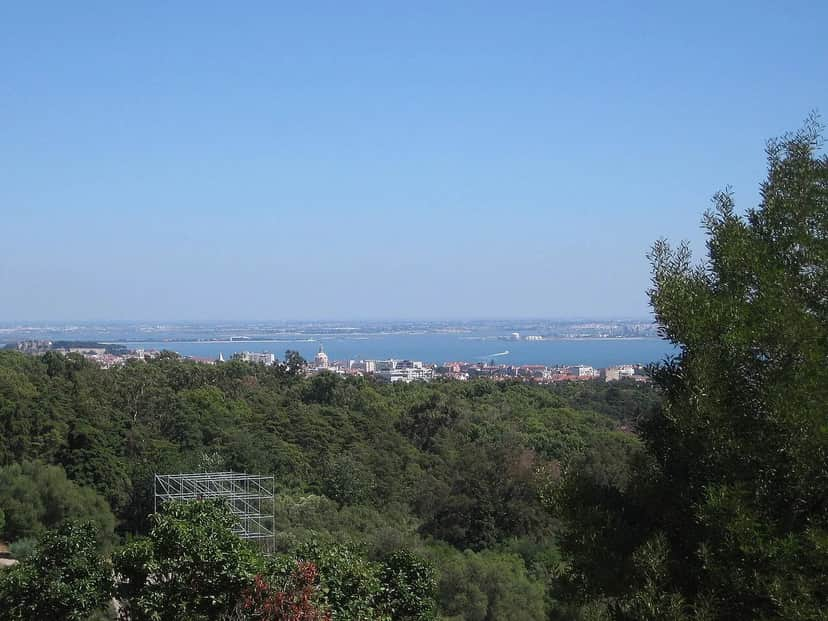 Parque Florestal de MonsantoOpens in a new tabLisbon · Trails & Natural AreasLying atop the Serra de Monsanto covering 900 hectares (2200 acres), the largest forest in Lisbon Municipality is the Parque Florestal de Monsanto. Known as the "Green Lung of Lisbon" this vast forest provides outdoor recreational opportunities for the residents of Lisbon and is open 24 hours a day. With trails, outdoor exercising and gym equipment, a biodiversity trail, a climbing wall, and skate and BMX parks, this park is a recreation paradise. The park, which has several 19th Century Turrets, affords a panoramic view of the city and the River. The oak, pine and eucalyptus trees of the park provide shelter and food for many migratory birds. In fact, several camera nests located in the park provide an up close view. At fifty hectares, the Ecological Park has a 4km perimeter and is fenced in in sixteen hectares. The Park extends from Alto da Serafina to the Woods of S. Domingos de Benfica. The Park aims to educate the public on geology, climate, vegetation and wildlife. For this purpose, the Park has established an Interpretation Center that houses an auditorium, exhibits and a resource center. Serra de Monsanto is the highest point in the Lisbon District and is estimated to have been formed some seventy million years ago as the result of a collision between the Iberian and Eurasian Plates. In the past, the area was mined and quarried. In the late 1800’s the hillside was barren. Monsanto Fort began construction in 1863 under King Louis I and ended in 1878. In the 1930’s, the hill was once again planned to be reforested. After the plans for the reforestation, Monsanto Park was officially established in 1934. The fort’s prisoners aided in the reforestation of the Park. In 1959, the Park was the site of the Formula One Portuguese Grand Prix. In 2001 the park restaurant, the Panorâmico, closed.
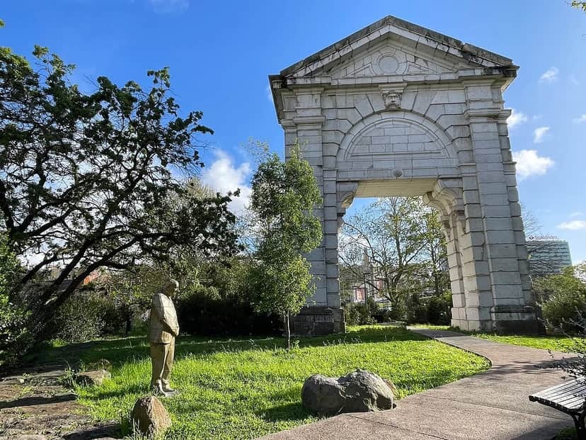 Parque Gonçalo Ribeiro TellesOpens in a new tabAvenidas Novas · Parks & Gardens
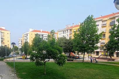 Parque Infantil da AtalaiaOpens in a new tabAmadora · Play Centres & Playgrounds
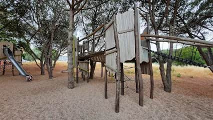 Parque Infantil da Encosta do Gravato (Aquaparque)Opens in a new tabLisbon · Play Centres & Playgrounds
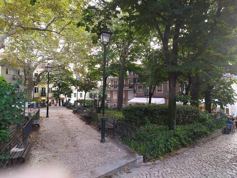 Parque Infantil da Praça FloresOpens in a new tabPríncipe Real · Play Centres & PlaygroundsPraça das Flores is a square in the parish of Misericórdia, in Lisbon. It lies close to the Palácio de São Bento (Parliament) and is bounded by Rua Nova da Piedade, Rua da Palmeira and Rua de São Marçal. The square is home to the Jardim Fialho de Almeida.
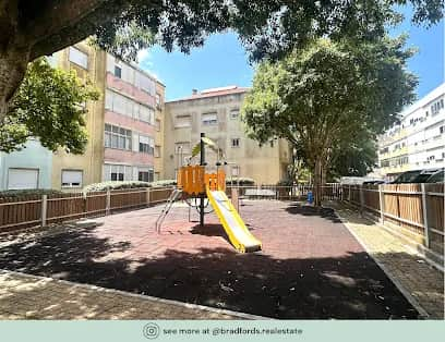 Parque Infantil da Praceta Dona Filipa de LencastreOpens in a new tabAmadora · Play Centres & Playgrounds
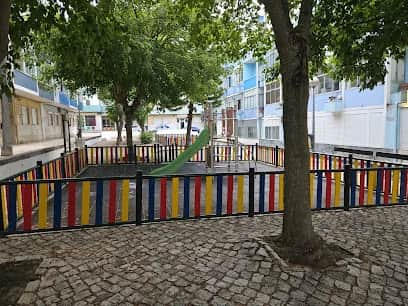 Parque Infantil da Praceta Jornal de AlmadaOpens in a new tabAlmada · Play Centres & Playgrounds
Powered by Foursquare ·Photo and data credits ▾
Photos: Vitor Oliveira (CC BY 2.0), via Wikimedia Commons · Mapcarta · DataForSEO · P.G. de Mendonça (CC BY-SA 4.0), via Wikimedia Commons · Vitor Oliveira from Torres Vedras, PORTUGAL (CC BY-SA 2.0), via Wikimedia Commons · Hipersyl (CC BY-SA 4.0), via Wikimedia Commons · cm-amadora.pt · CorreiaPM (Public domain), via Wikimedia Commons · DiogoBaptista (CC BY-SA 4.0), via Wikimedia Commons · Vanbasten 23 (CC BY-SA 3.0), via Wikimedia Commons · Data: © OpenStreetMap contributors · Wikidata (CC0) · Wikipedia (CC BY-SA 4.0)
