

Filters (0)
Rating▾
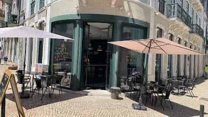
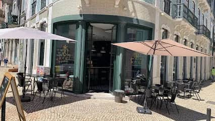 Royale ExperienceRua dos Anjos 1, 1150-032 LisboaIntendenteCafés & Coffee Shops
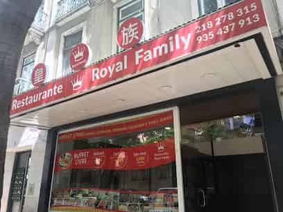
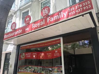 Royal FamilyA restaurant in Lisbon serving an all-you-can-eat buffet with Chinese dishes, sushi and duck. The menu also includes small plates and desserts, and the bar offers beer, wine, liquor and coffee. Late night food is available.SaldanhaRestaurants

 Royal PinkAvenida António Enes s/n, 2745-067 QueluzLisbonHair & Beauty Salons
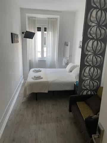
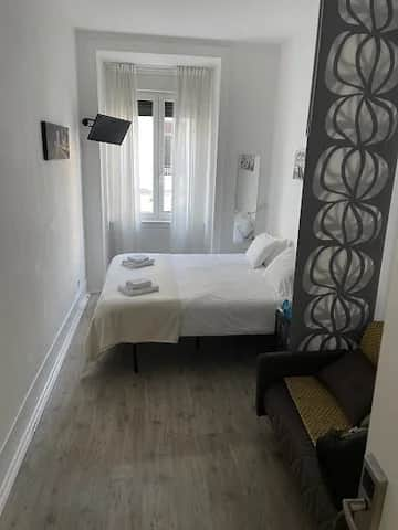 Royal Prince HostelRua da Palmeira 20, 1200-313 LisboaPríncipe RealHostels & Budget Stays
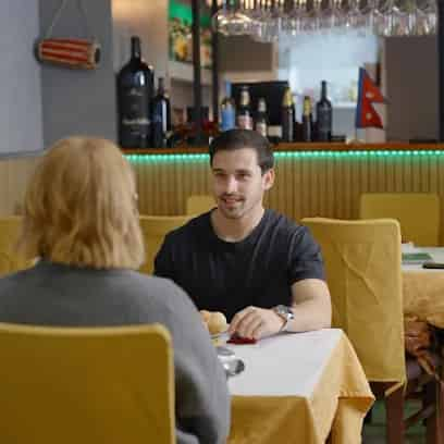
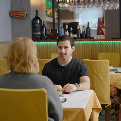 Royal Spice RestaurantRua do Conde de Redondo 127A, 1150-083 LisboaArroiosRestaurants
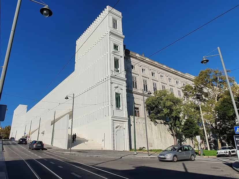
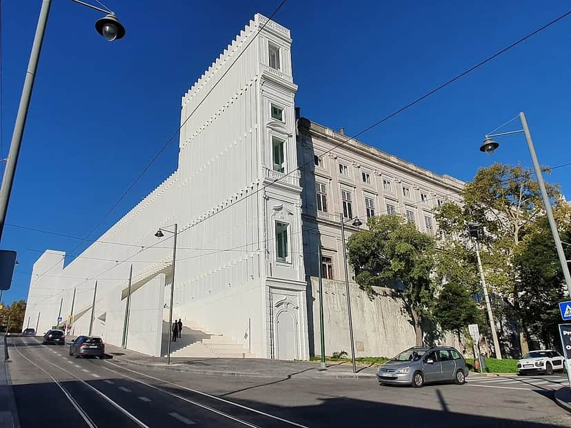 Royal Treasure MuseumThe Royal Treasure Museum, on Calçada da Ajuda in Lisbon, presents a collection of unique jewels and was named Museum of the Year 2026. In addition to its collections, it offers guided tours, an educational service, a shop and a café, and has spaces available to rent.LisbonMuseums

 Royalty Clinic LisboaLargo de São Sebastião da Pedreira, 1069-029 LisboaAvenidas NovasMassage & Body Care
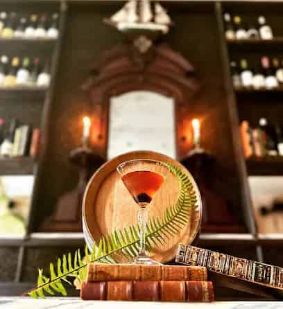
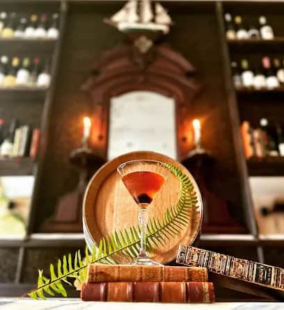 Royal VesselRua Ruben A. Leitão 21-25, 1200-311 LisboaPríncipe RealBars & Nightlife
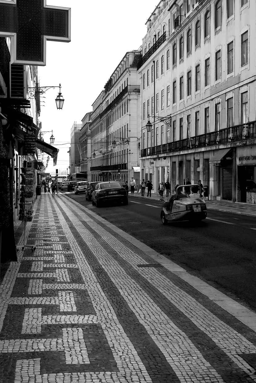
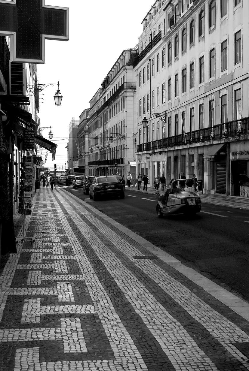 Rua ÁureaRua Áurea, also known as Rua do Ouro, is a street in the city of Lisbon, specifically in the parish of Santa Maria Maior and in the Baixa district of Lisbon, in the Portuguese region of the Lisbon Metropolitan Area. Around 535 metres long, the street begins at Praça D. Pedro IV and ends at Praça do Comércio.BaixaSquares, Streets & Bridges
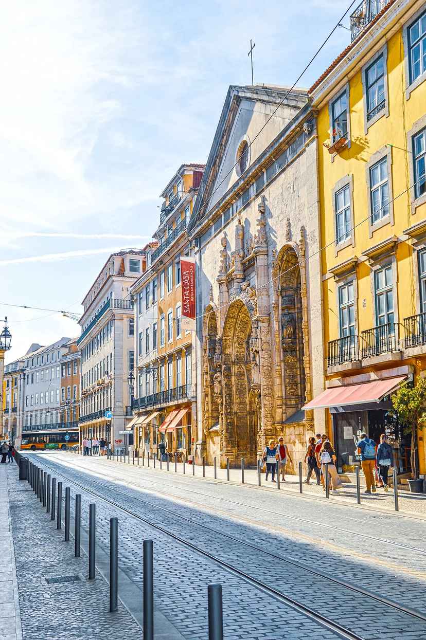
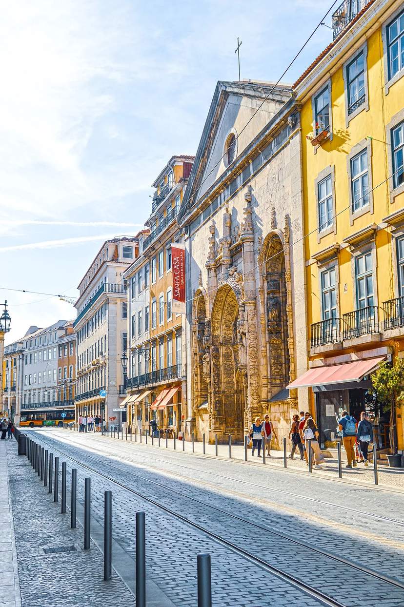 Rua da AlfândegaRua da Alfândega is a street in Lisbon, located in the parish of Santa Maria Maior; until 2013 it belonged to the now-abolished parishes of Madalena and Sé. It links Campo das Cebolas to Praça do Comércio. It has had several names throughout history: Rua do Terreiro do Trigo, Rua do Terreiro Novo, Rua da Misericórdia de Baixo (1688), Rua Direita da Misericórdia (1720), and Rua da Misericórdia. Parts of the street also bore the names Rua da Ribeira Velha, Rua dos Freires and Rua da Conceição dos Freires. It was later turned into two streets, which were joined by an edict of 1 September 1859 to form Rua da Alfândega, since the Lisbon customs house (alfândega) was located there.BaixaSquares, Streets & Bridges
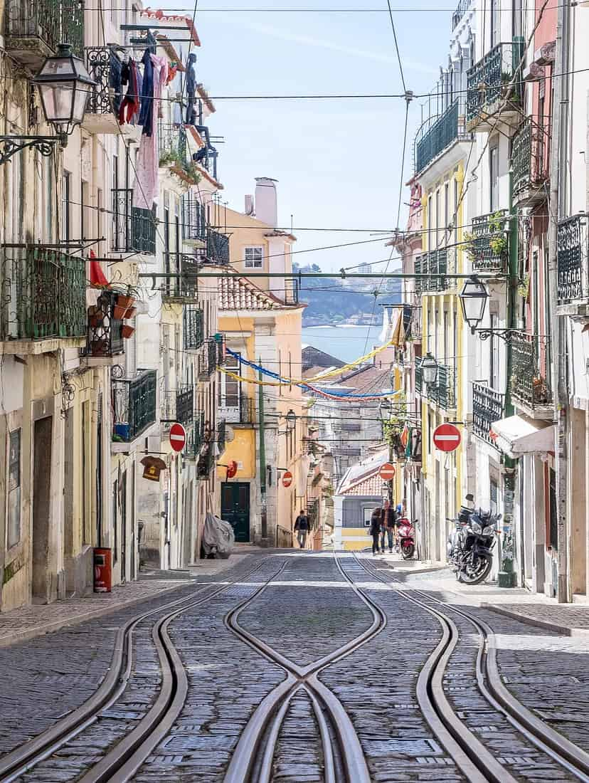
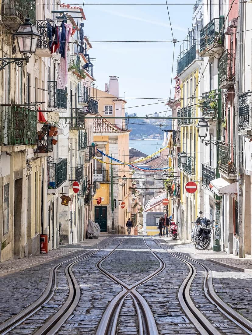 Rua da Bica de Duarte BeloRua da Bica de Duarte Belo 26, 1200-056 LisboaBairro AltoSquares, Streets & Bridges
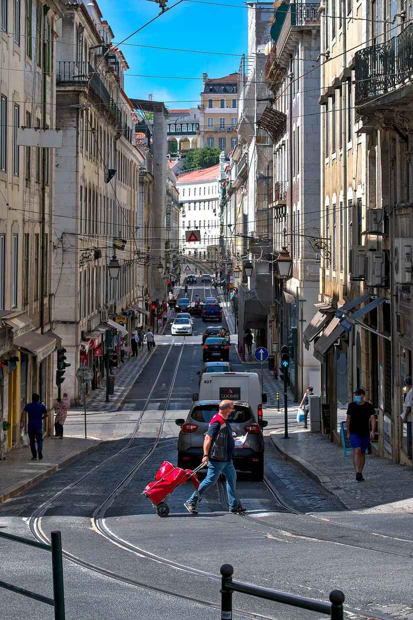
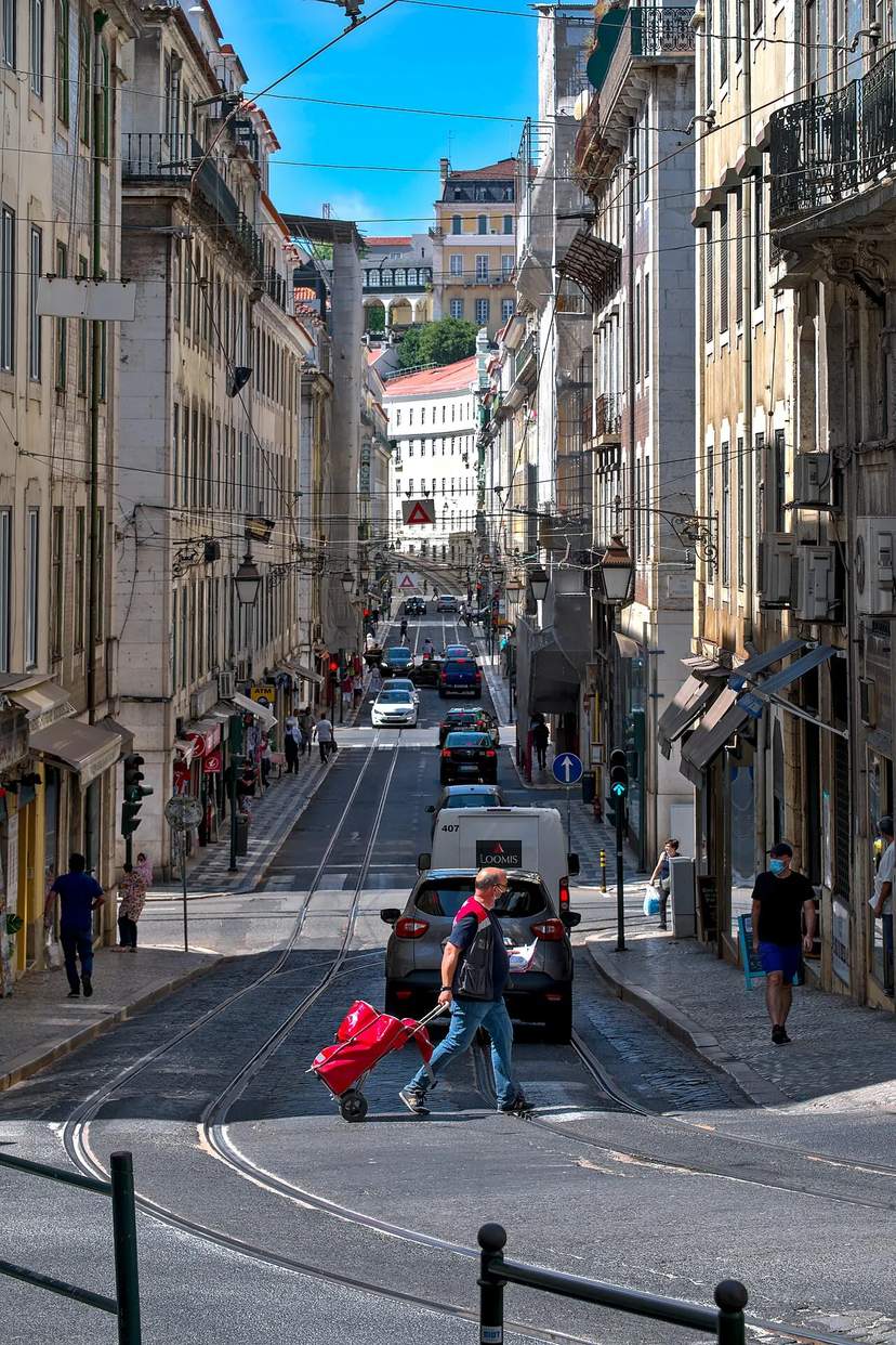 Rua da ConceiçãoRua dos Correeiros 2, 1100-050 LisboaBaixaSquares, Streets & Bridges
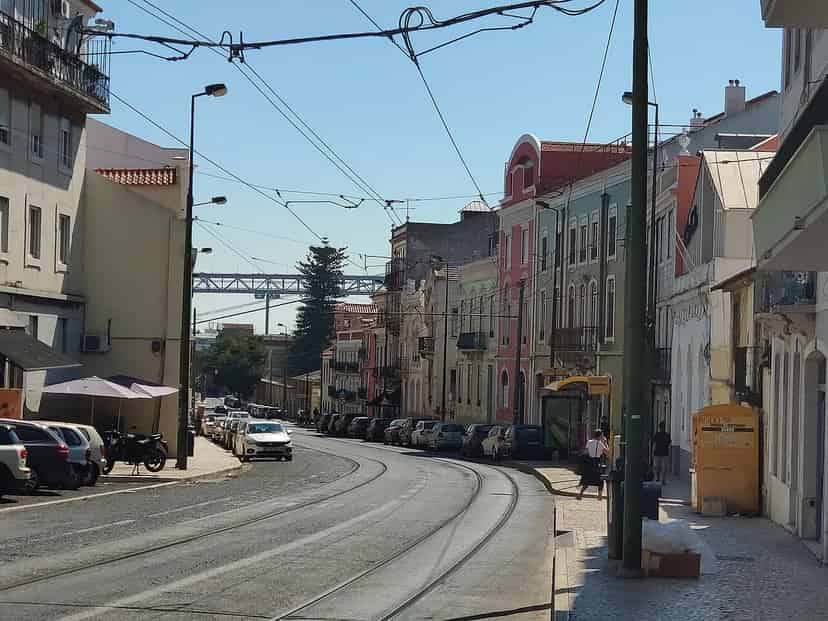
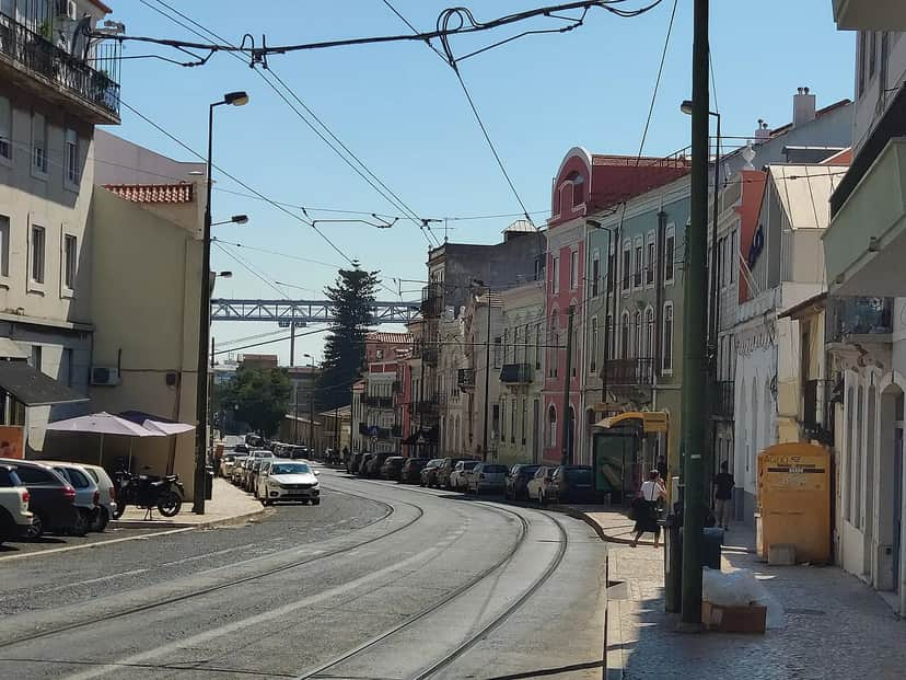 Rua da JunqueiraRua da Junqueira is a Lisbon thoroughfare approximately 1,800 metres long, linking Alcântara to Belém and running roughly parallel to the River Tagus. It is a very old place name, indicating that the area was once covered with rushes (juncos); there are references to the Sítio da Junqueira, at the mouth of the Rio Seco, dating back to the 13th century.AlcântaraSquares, Streets & Bridges
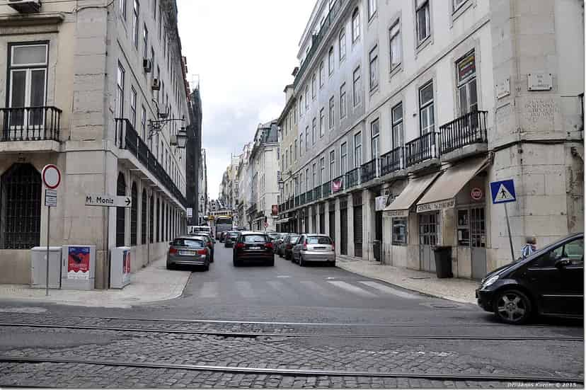
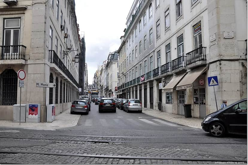 Rua da MadalenaRua da Madalena is a thoroughfare in the Baixa Pombalina of the city of Lisbon, located in the parish of Santa Maria Maior, linking Rua da Alfândega, by the river, to Poço do Borratém, close to Praça da Figueira. Its name comes from the Igreja de Santa Maria Madalena, the work of the architect João Paulo after the earthquake of 1755. The church rests on the foundations of another church of the same name that had existed since 1164. This church also gives its name to Largo da Madalena, as well as to the parish of Madalena.BaixaSquares, Streets & Bridges
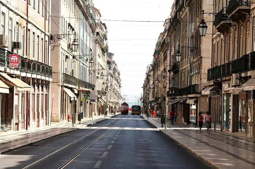
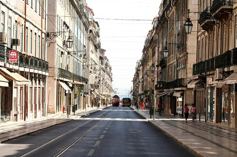 Rua da PrataRua da Prata is one of the main thoroughfares of the Baixa Pombalina of the city of Lisbon, located in the parish of Santa Maria Maior, linking Praça do Comércio to Praça da Figueira. Built after the earthquake of 1755, during the rebuilding of the city, it was given the name Rua Bella da Rainha. In the distribution of trades among the streets of the Baixa, Rua Bella da Rainha was assigned to the silversmiths, with any remaining shops going to the booksellers who had previously lived nearby. Formerly called Rua Bella da Rainha, after the republican revolution of 1910 its name was changed to the present one.BaixaSquares, Streets & Bridges
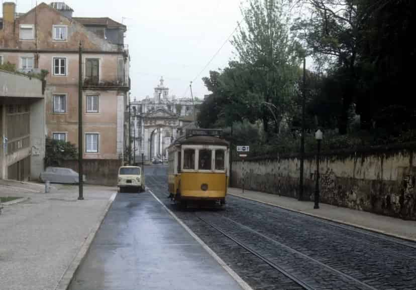
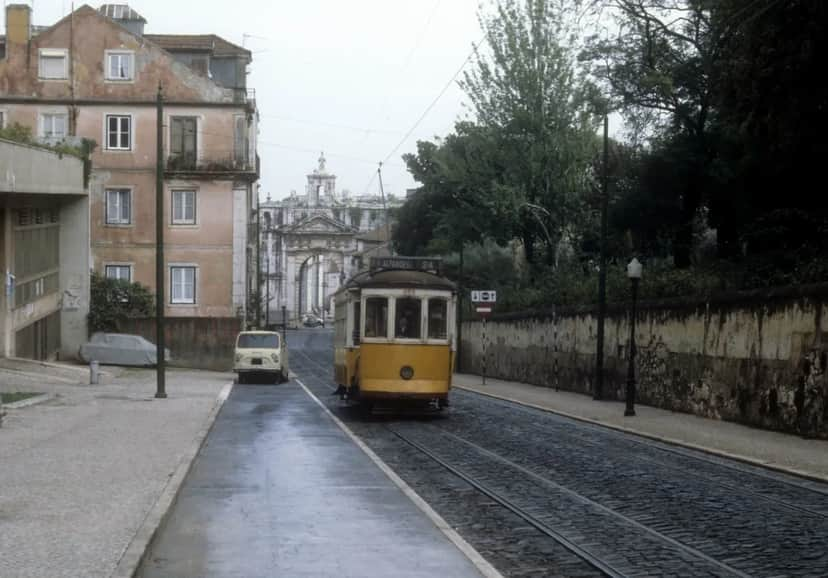 Rua das AmoreirasRua das Amoreiras is a thoroughfare in Lisbon, located in the parishes of Santo António and Campo de Ourique, linking Largo do Rato to Avenida Engenheiro Duarte Pacheco. The street crosses the historic Amoreiras area, close to the Aqueduto das Águas Livres, the Arco das Amoreiras, the Jardim das Amoreiras and the Reservatório da Mãe d'Água das Amoreiras.Príncipe RealSquares, Streets & Bridges
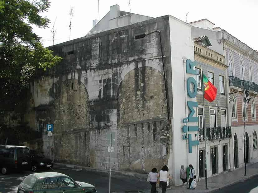
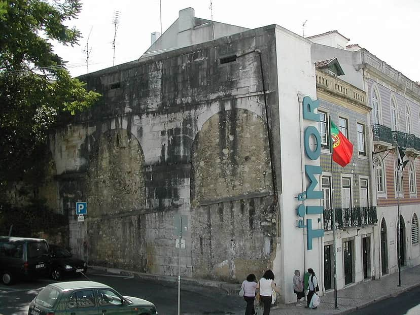 Rua de São BentoRua de São Bento is a well-known street in Lisbon, situated on the boundary between the parishes of Campo de Ourique and Estrela and Santo António and Misericórdia.São BentoSquares, Streets & Bridges
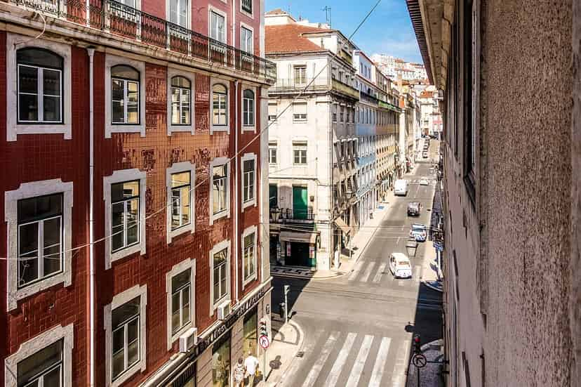
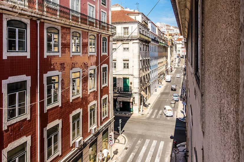 Rua de São JuliãoRua de São Julião is a street in the Baixa Pombalina of the city of Lisbon, located in the parish of Santa Maria Maior, which begins at Rua da Padaria and ends at Largo de São Julião. It was formerly known as Rua dos Aljibebes, yet it is already referenced in Gil Vicente's Pranto de Maria Parda as "rua de San Gião". After the 1755 earthquake, by the decree of 5 November 1760 it was officially given the name Rua de São Julião, with the aljibebes defined as the predominant trade.BaixaSquares, Streets & Bridges
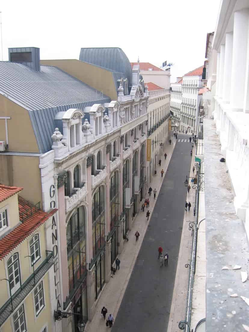
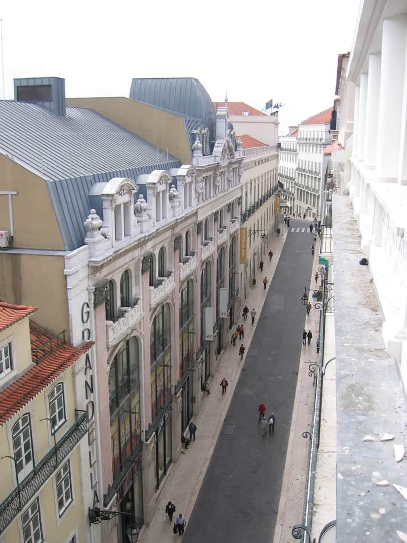 Rua do CarmoRua do Carmo is located in Lisbon's Baixa, in Lisbon, Portugal. It is a relatively small street but of great commercial importance, due to its proximity to areas such as the Baixa, Chiado and Bairro Alto. It has shops of international brands and some others, traditional and very old. After the Chiado Fire of 1988 the street went through a period of decline; but it has been revitalising since the reopening of the old Armazéns do Chiado, in the form of a modern shopping centre, and today it is one of the main commercial streets of Lisbon.ChiadoSquares, Streets & Bridges
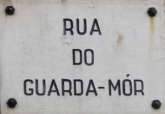
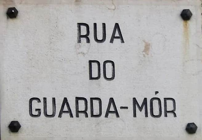 Rua do Guarda-MorRua do Guarda-Mor is a street in Lisbon, Portugal, which previously belonged to the parish of Santos-o-Velho, more specifically to the Madragoa district. Following Lisbon's administrative reform in 2012, the street now belongs to the newly created parish of Estrela. The street begins at Rua das Trinas and ends at Rua São João da Mata.SantosSquares, Streets & Bridges
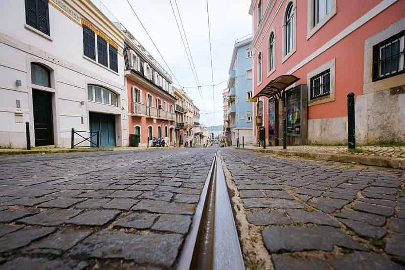
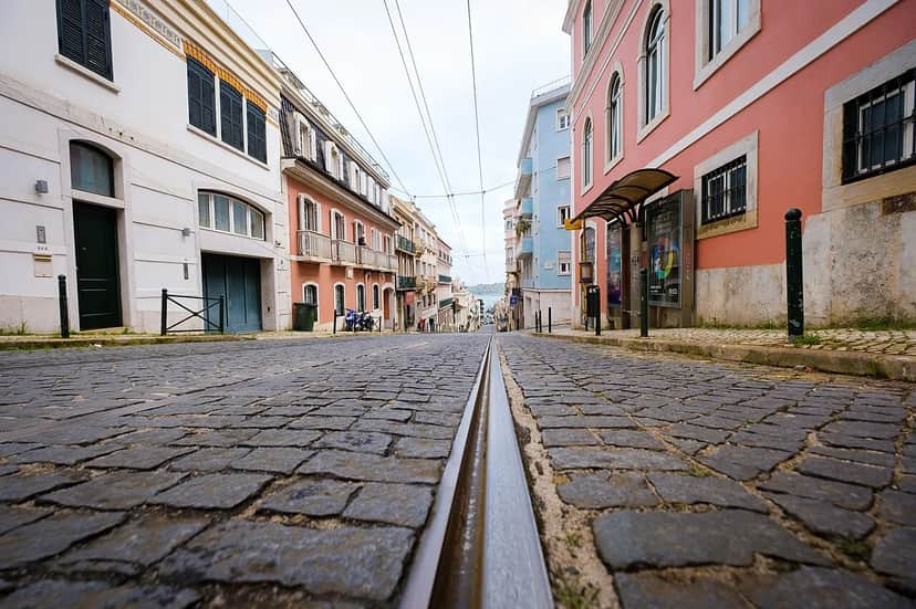 Rua do Sacramento à LapaRua do Sacramento à Lapa is an old street considered one of the most picturesque and beautiful in Lisbon. It lies in the parish of Estrela. The street already existed in the former parish of Santos in 1755 under the name Rua do Sacramento, and it is also mentioned on the plan of the new parish of N. Sª da Lappa following the parish reorganisation of 1770. The addition of "à Lapa" was approved by the Toponymy Commission of the Lisbon City Council in 1950.EstrelaSquares, Streets & Bridges
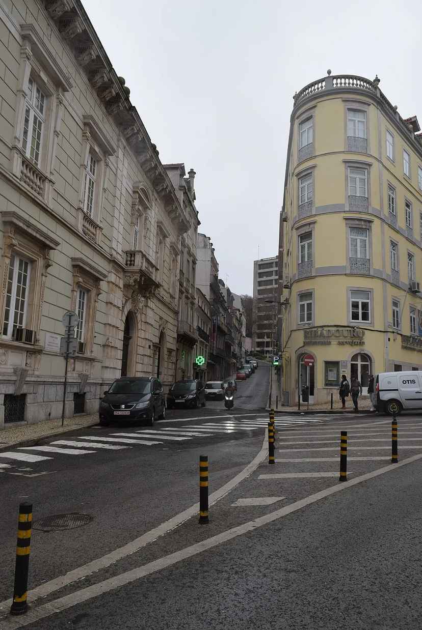
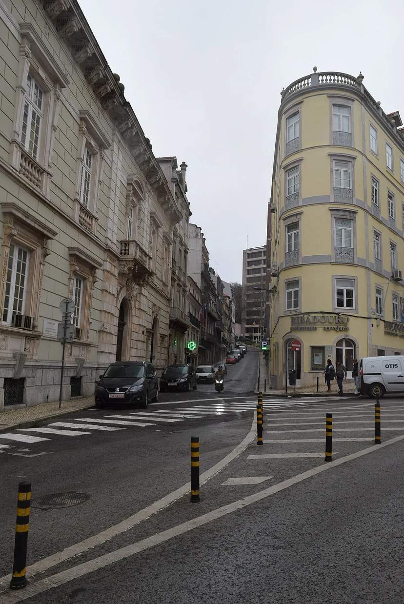 Rua do SalitreRua do Salitre is a street in the parish of Santo António, in Lisbon.Príncipe RealSquares, Streets & Bridges
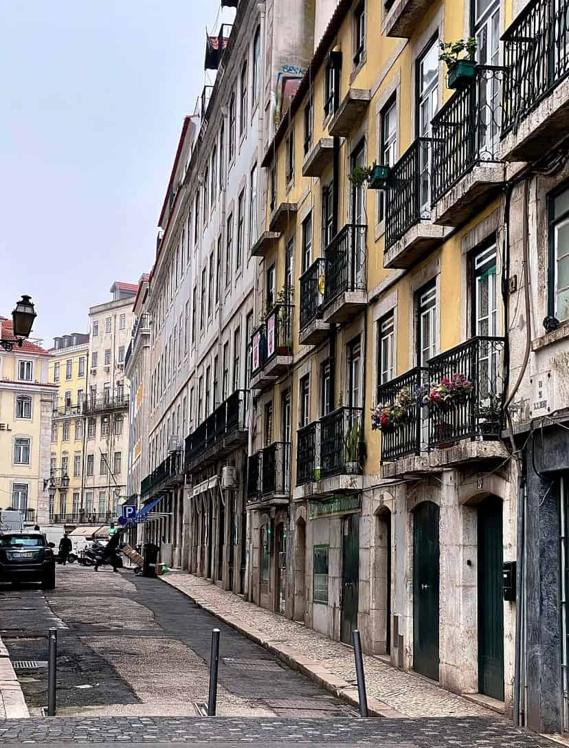
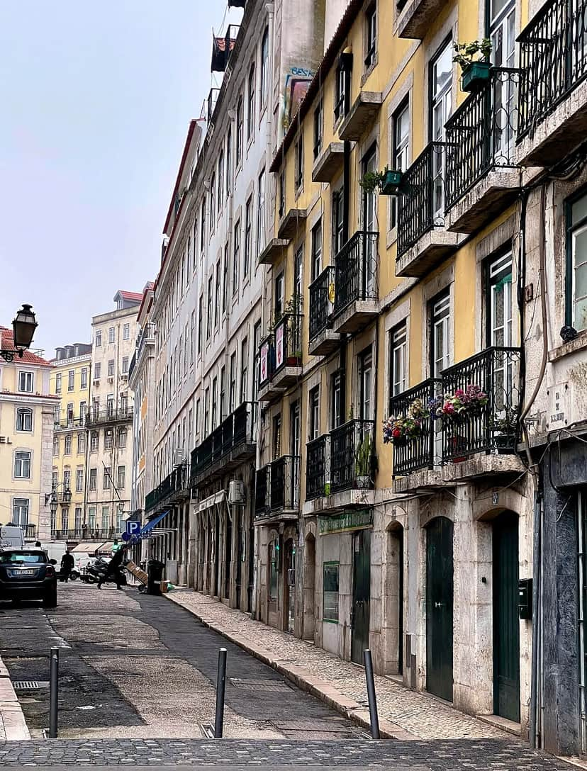 Rua dos BacalhoeirosRua dos Bacalhoeiros is a street in the parish of Santa Maria Maior, formerly in the now-abolished parishes of Sé and Madalena, in the city of Lisbon.BaixaSquares, Streets & Bridges
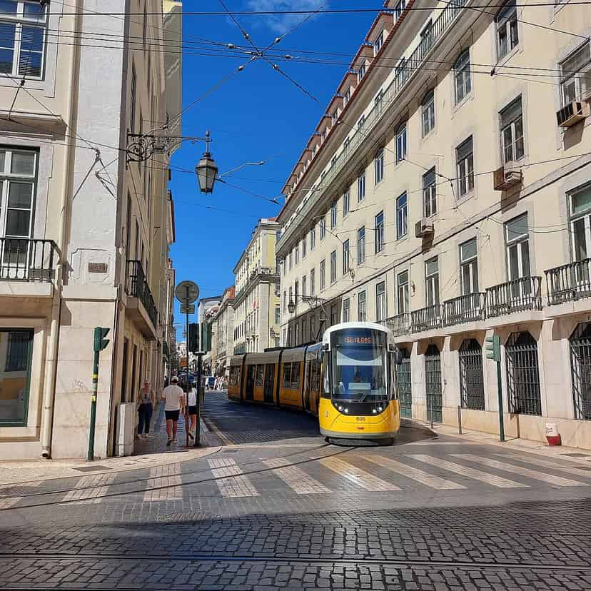
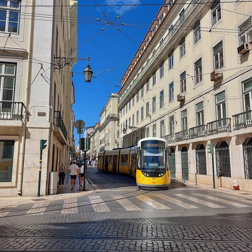 Rua dos FanqueirosRua dos Fanqueiros is a street in the Baixa Pombalina district of Lisbon, running from Rua da Alfândega to Praça da Figueira.BaixaSquares, Streets & Bridges
Photo and data credits ▾
Photos: DataForSEO · GualdimG (CC BY-SA 4.0), via Wikimedia Commons · J. Filipe (CC BY-SA 3.0), via Wikimedia Commons · Michael Gaylard from Horsham, UK (CC BY 2.0), via Wikimedia Commons · Ajay Suresh from New York, NY, USA (CC BY 2.0), via Wikimedia Commons · Tobias Scheck from Chemnitz (CC BY 2.0), via Wikimedia Commons · Reis Quarteu (CC BY-SA 4.0), via Wikimedia Commons · János Korom Dr. >14 Million views from Wien, Austria (CC BY-SA 2.0), via Wikimedia Commons · Montserrat Labiaga Ferrer from Madrid, Spain (CC BY 2.0), via Wikimedia Commons · Kurt Rasmussen (Attribution), via Wikimedia Commons · CorreiaPM (Public domain), via Wikimedia Commons · nborges from Portugal (CC BY 2.0), via Wikimedia Commons · Ruaslisboa (CC BY-SA 4.0), via Wikimedia Commons · Sebastiaan ter Burg (CC BY 2.0), via Wikimedia Commons · Haydn Blackey from Cardiff, Wales (CC BY-SA 2.0), via Wikimedia Commons · F Delventhal from Outside Washington, D.C., US (CC BY 2.0), via Wikimedia Commons · Threeohsix (CC BY-SA 4.0), via Wikimedia Commons · Data: © OpenStreetMap contributors · Wikidata (CC0) · Wikipedia (CC BY-SA 4.0)
